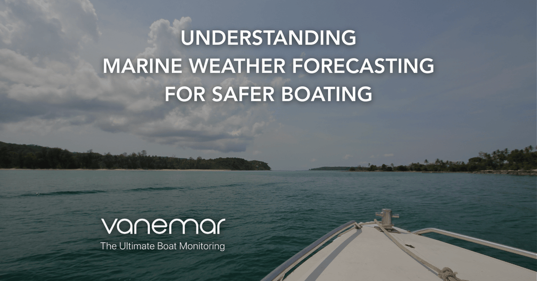
Understanding Marine Weather Forecasting for Safer Boating
Boating brings freedom and excitement, but the open water is also one of the most unpredictable environments. Marine weather can shift rapidly, turning a calm day into one filled with rough seas, poor visibility, or hazardous winds. That’s why marine weather forecasting is such an essential skill for every boat owner.
By understanding marine forecast details like wind, waves, tides, and visibility, you can better prepare, adjust your plans, and make safer decisions. Whether you’re planning a short coastal cruise or heading into offshore waters, keeping track of the latest updates helps ensure that your boating adventures remain enjoyable and secure.
Table of contents
What Is Marine Weather Forecasting and Why Does It Matter?
Unlike general weather updates, marine weather forecasting is designed specifically for those on or near the water. It considers variables such as wind direction and speed, wave height and period, tides, and currents, alongside visibility and storm warnings.
Why it matters:
Conditions at sea change much faster than on land.
A zone marine forecast may show calm weather close to shore but very different conditions offshore.
Anticipating hazards helps boaters decide whether to proceed, delay, or reroute.
Safe boating depends not only on knowing what the sky looks like now, but on understanding how it may change. With offshore marine forecasts and local updates, you can act before the weather does.
Key Components of a Marine Weather Forecast
Learning to interpret forecasts begins with the main elements that shape your experience at sea.
Wind Marine Forecast
Wind is one of the most influential elements of marine weather forecasting. It shapes the surface of the water, determines the formation of waves, and affects overall comfort and safety at sea. A wind marine forecast provides direction and speed, two pieces of information every boater should check before departure.
Wind Speed: Reported in knots, it tells you how forceful conditions will be. While a steady breeze can make for enjoyable sailing, 15-20 knots may already create uncomfortable chop for small boats.
Wind Direction: Knowing where the wind comes from is just as important. Onshore winds may push waves toward the coast, making landings more difficult, while offshore winds can flatten nearshore waters but present risks if your engine fails.
Sustained Wind vs. Gusts: Forecasts usually show average winds, but gusts can exceed that by 20-30%. Always prepare for the higher end.
Wind Against Current: When wind blows opposite to the current, expect steeper and more confused seas conditions that can quickly become dangerous.
Understanding these dynamics allows you to match the forecast with your vessel’s size and capability, ensuring safer planning and a smoother experience.
Wave Height and Period
Waves dictate how comfortable or challenging a boating trip will feel. The wave height and period section of a forecast gives insight into both the size and rhythm of waves.
Wave Height: The distance from the crest to the trough, usually averaged across observations. Forecasts may note “significant wave height,” but keep in mind that some waves can be nearly twice as tall as the average.
Wave Period: The time between successive wave crests. A long period (e.g., 10+ seconds) typically indicates rolling swells that are easier to navigate, while short periods (e.g., 4-5 seconds) create a choppy, fatiguing ride.
Combined Seas: Forecasts may mention multiple wave systems, such as local wind waves plus distant swells. These can create unpredictable, confused seas.
Practical takeaway: calm seas are not just about small waves, they’re about long, evenly spaced intervals. Evaluating both height and period helps determine whether conditions qualify as good boating weather or demand caution.
Visibility
Visibility plays a critical role in understanding marine forecast data. Reduced visibility increases collision risks, complicates navigation, and makes spotting hazards more difficult.
Fog and Haze: Often the biggest culprits in reducing visibility, particularly in the early morning or cooler seasons.
Rain and Storms: Heavy precipitation can temporarily obscure vision and radar.
Night Boating: While forecasts focus on weather-related visibility, boaters should remember that limited light combined with haze can be just as dangerous.
Many zone marine forecasts and offshore marine forecasts include visibility estimates. If poor visibility is expected, plan to use radar, AIS, or GPS navigation systems and reduce speed to maintain safety margins.
Tides and Currents
For coastal and offshore cruising, tides and currents are as important as wind and waves. They influence where and how you can navigate, dock, or anchor.
Tides: Predictable rises and falls of sea level that impact docking and mooring. Low tides may expose hazards, while high tides can help in entering shallow areas.
Currents: Horizontal movements of water that may align with or oppose the wind. Currents can significantly affect fuel consumption and travel time.
Wind vs. Current: When the wind blows against the tide, seas become rougher and more confused. This is especially relevant in river mouths, inlets, and straits.
Boaters should always check tide tables and current predictions alongside the forecast marine data. Combining this information ensures safer passage planning, particularly in areas known for strong tidal influence.
Zone Marine Forecast
Unlike general land forecasts, a zone marine forecast divides the sea into specific geographic regions, each with tailored updates. Conditions can vary widely between areas that are only a few miles apart.
Coastal Waters Forecasts: Cover conditions close to shore, usually within 20 nautical miles. These are most useful for recreational boaters staying near harbors and bays.
Offshore Marine Forecasts: Extend beyond 20 nautical miles, where winds are often stronger and waves larger. Ideal for planning longer passages.
Localized Warnings: Zone forecasts also provide targeted advisories such as small craft warnings, gale warnings, or storm warnings, helping boaters assess risk levels for their specific area.
By consulting both nearshore and offshore marine forecasts, you can spot differences in conditions and plan accordingly. For example, a calm day at the dock doesn’t always guarantee safe seas a few miles offshore.
Knowing these factors and recognizing how they interact gives you the confidence to spot good boating weather and avoid dangerous conditions.
How to Access and Interpret Marine Weather Forecasts
Having access to a forecast is just the first step. The real value comes from knowing where to find reliable information and how to apply it.
Popular Sources for Marine Weather Information
National Weather Service (NWS): In the U.S., the NWS provides detailed offshore marine forecasts and zone marine forecasts.
Websites: NOAA.gov and other national agencies publish reliable marine data.
Mobile Apps: Tools such as PredictWind deliver the best marine forecast visuals with user-friendly dashboards.
Marine Radios: VHF radios are critical for receiving up-to-date alerts and emergency broadcasts while at sea.
Tips for Understanding Marine Forecasts
Check Multiple Sources: Cross-referencing helps confirm accuracy and gives a wider picture.
Pay Attention to Warnings: Small craft advisories, gale warnings, or storm alerts are not to be ignored.
Monitor Updates Frequently: Marine weather conditions can be monitored by apps, radios, and websites throughout the day, because conditions shift quickly.
By combining these tools, you’ll always have access to the best marine weather insights for your trip.
Practical Tips for Boating in Safe Marine Weather Conditions
Even with accurate forecasts, safety also depends on preparation and judgment. Here are some best practices:
Plan Ahead: Review the forecast marine details for your route and destination. If the report is uncertain, waiting it out is often safer.
Equip Yourself Properly: Always have life jackets, a working VHF radio, GPS, and navigation tools onboard.
Monitor the Horizon: Dark clouds, falling temperatures, or shifting winds often signal worsening conditions before forecasts update.
Know Your Limits: Both your vessel and your skills have boundaries. Smaller boats are more vulnerable to rough seas.
Stay Informed: Keep checking your wind marine forecast and local zone updates throughout the trip.
Share Your Float Plan: Let someone ashore know your expected route and return time.
With preparation, you’ll be able to make quick, informed decisions and keep everyone onboard safer.
How Smart Monitoring Enhances Weather Awareness
While weather forecasts help with planning, onboard monitoring can provide peace of mind when conditions change unexpectedly. For example, with the Vanemar Gateway and Vanemar NMEA 2000 Boat Adapter environmental data such as wind speed & direction, water depth, water temperature and air pressure(barometric) can be monitored in real time via Vanemar App. To learn more about the environmental data on Vanemar App, you can read Smart Boating Upgrade: Real-Time Environmental Data on Your Phone. This allows boaters to receive alerts if conditions worsen, even while away from their vessel.
When combined with offshore marine forecasts and zone marine forecasts, onboard monitoring ensures that your safety planning extends beyond the dock, helping you adapt no matter where you are.
Safe and enjoyable boating isn’t about luck, it’s about preparation. By learning how to interpret a marine weather forecasting report, understanding the elements of a zone marine forecast , and using tools to track changing conditions, you’ll know when you have good boating weather and when it’s best to wait.
Technology and vigilance together provide the best marine forecast for your needs. And with reliable onboard monitoring like Vanemar, you can enjoy the water with more confidence, knowing that safety always comes first.


